
Quick facts
- Best for
- Image geolocation
- Pricing
- Freemium
- Editor rating
- 5 / 5
- Community saves
- 0
About GeoSeer
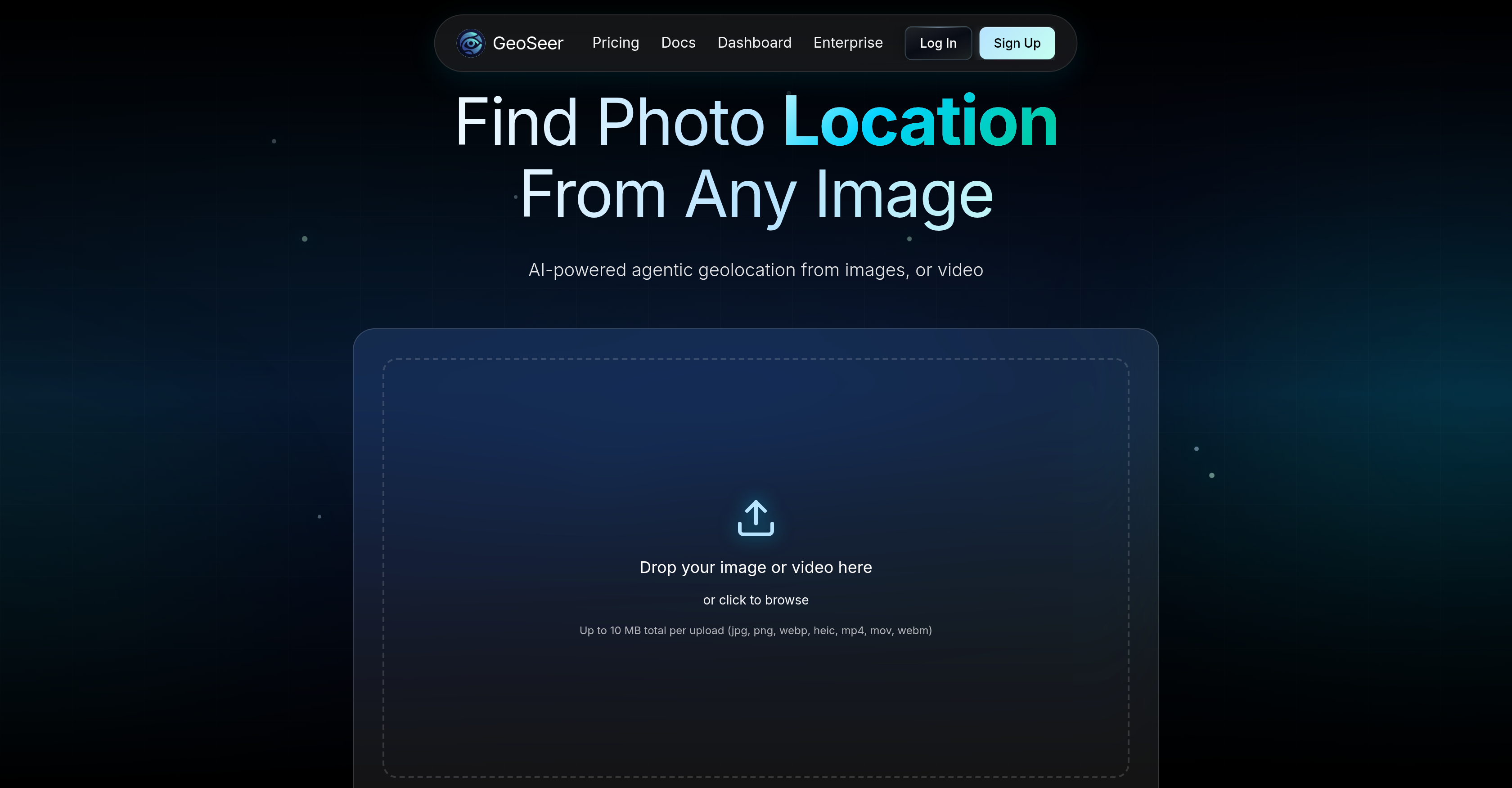
GeoSeer is an AI-powered tool designed to identify the location where a photo or video was taken. It allows users to upload up to three images or one video and it generates predictions of the geographical details of where the image or video was shot - GPS coordinates, the city, and the country. It does not require EXIF data from the uploaded files for its workings. GeoSeer makes use of a parallel multi-agent AI architecture to analyze the uploads and estimate the location. This is achieved through different steps including EXIF analysis, reverse image searching, visual analysis, area estimation, and finally ranking the results. GeoSeer prides itself on state-of-the-art performance, providing real-time processing of uploads, geolocation services that cover the entire globe, and a privacy-first policy that does not store the images or videos uploaded. Designed with a developer API, GeoSeer can be integrated easily into other platforms. The tool caters to a variety of users with different quota needs and provides different pricing plans accordingly. GeoSeer has a user-friendly interface and is recognized for its accuracy.
Pros
- Identifies photo or video location
- Doesn't require EXIF data
- Performs EXIF analysis
- Performs reverse image searching
- Performs visual analysis
- Area estimation
- Ranks results
- Real-time processing
- Privacy-first policy
- Doesn't store uploads
- Developer API for integration
- Flexible pricing plans
Cons
- Limited to three images
- Single video limitation
- Requires clear landscape images10 MB upload limit
- Performance dependent on text clarity
- Accuracy varies across terrain types
- Costly for high usage
- No mobile app